Google, through its powerful platform Google Earth Engine, enables users to analyze and visualize global satellite images. Scientists, non-profits and others use Earth Engine for remote sensing research, predicting disease outbreaks, natural resource management, and more.
Now Google Earth Engine is also being used to address deforestation. Since September 2021, NICFI has made their unique NICFI-Planet Tropical Basemaps available in Google Earth Engine’s platform for analysis. When these are merged, this is how it looks:

The result is better and more direct access to data, allowing users to respond more efficiently and accurately to irregularities and drivers of deforestation.
Within the first month, over 1,100 users have started to utilize the platform to analyze the satellite images.
“From its inception 10 years ago, Google Earth Engine’s mission has been a global-scale platform for earth science data and analysis to further the most pressing environmental and societal issues we face”, said Brian Sullivan, Sr. Program Manager at Google at the launch.
“By partnering with the NICFI program to connect the first high resolution, deep time series imagery with the latest geospatial and machine learning platforms, groups working to stop deforestation will now have access to insights and solutions at a previously unprecedented scale”, Sullivan stated.
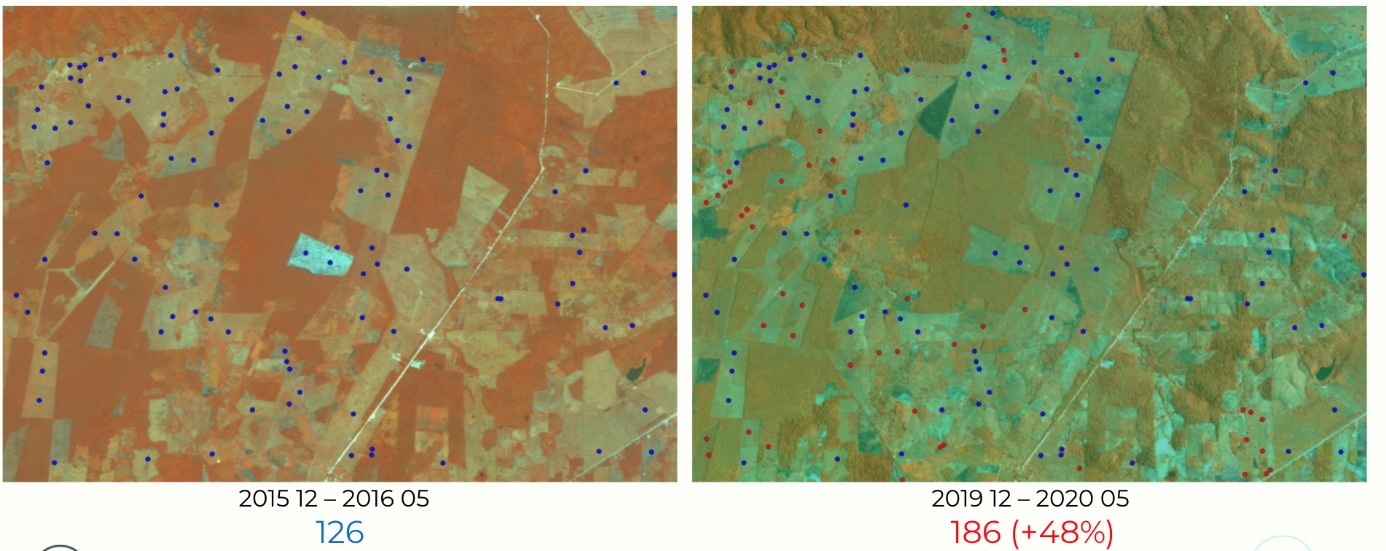
The images below show how satellite imagery can help identifying irregularities and key drivers of deforestation. In this case, the Wildlife Conservation Society Guatemala used the satellite imagery to advise the National Council for Protected Areas in Guatemala about cattle irrigation infrastructure.

