
Norway’s International Climate and Forest Initiative (NICFI) and the Bezos Earth Fund to join forces in providing universal access to high-resolution satellite monitoring of the tropics.
Norway’s International Climate and Forest Initiative (NICFI) and the Bezos Earth Fund today announce a new partnership to continue providing the world with free access to high-resolution satellite data to support efforts to stop the destruction of the world’s rainforests.
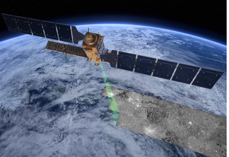
 Illustration: NASA
The partnership adds to the USD 43 million previously granted by NICFI to establish the NICFI Satellite Data programme and complements the Bezos Earth Fund’s investments in protecting tropical forests and enhancing data, monitoring and accountability.
“Since 2020, Norway has provided the world with open and free access to high-resolution satellite data imagery of the world’s tropical forests. It is evident from this experience that such access leads to more effective rainforest protection. I am pleased that Norway in partnership with the Bezos Earth Fund will continue to provide the world with this public good” says Andreas Bjelland Eriksen, Norway’s Minister of Climate and Environment.
“Money should never be a barrier to accessing information to protect our planet,” said Dr. Andrew Steer, President and CEO of the Bezos Earth Fund. “High quality data that’s updated frequently can be a gamechanger. By tracking data in real time, we can better protect tropical forests, detect illegal activities and wildfires, understand the drivers of forest loss and degradation, and enhance accountability. We’re thrilled to partner with NICFI to play a role in providing free access to everyone.”
NICFI will contribute 100 million NOK total to a new phase of the program, for up to four years. The Bezos Earth Fund expects to contribute a similar amount to the program, pending satisfactory conclusion of the upcoming procurement process.
The need for satellite monitoring of the tropics
Deforestation of tropical forests is a major cause of climate change and biodiversity loss, as well as a threat to the livelihoods of people living in and around the forest. Improved monitoring of tropical forests is crucial to quickly discover deforestation and launch effective strategies for forest protection.
“Daily high-resolution satellite images are very important for the protection of our territories. In the past, it took us 6 months to get images of our territory. Today, working with geographic information systems and mobile applications that allow us to monitor deforestation and fires, Planet satellite images made available by NICFI allow us to follow the transformations and detect invasions in almost real time. Today we can see deforestation arriving in the territory very quickly. This has become not only a technical tool, which allows us to better manage our territories, but also a political one”, says Thiago Parintintin, Terra indígena Ipixuna.
“This year, data on deforestation in the Amazon (PRODES/INPE) were released at the beginning of November and the state of Pará had a reduction of 21%. NICFI products were decisive for this result. I am sure that maintaining the program will further help us reach our emissions reduction targets and contribute greatly to the work related to the forest restoration plan that Pará will present at COP 28”, says Jakeline Viana, Coordinator of the Monitoring and Strategic Planning Committee for Inspection of the Secretariat of Environment and Sustainability of Pará (CFISC/SEMAS-PA).
“Ethiopia is extensively utilizing the high-resolution images provided by NICFI for geospatial monitoring of deforestation, reforestation, and landscape restoration. This is key in a country where further degradation and forest loss is threatening the water flow to the Horn of Africa, the livelihoods of people, the food security and biodiversity. This data will be instrumental in achieving Ethiopia’s goal of verifying investments on the ground to enter into global carbon markets systems” says Ato Kebede, Director General, Ethiopia Forest Development.
“The monitoring of protected areas using remote sensing imaging has allowed us to monitor the entire territory, assess changes and make decisions regarding the management of the unique ecosystems that we conserve. It has also allowed us to have more updated and detailed information in our monitoring system and generate early warnings of land cover changes. Overall, high resolution satellite data has become a key pillar in the planning and management of Colombia’s National Parks” says General Director Luisz Olmedo, National Natural Parks of Colombia.
“The NICFI Satellite Data Program is an incredible resource for combatting tropical deforestation. Many stakeholders that Global Forest Watch serves – whether they be Indigenous peoples, investigative journalists, or multinational corporations – rely on the program’s high resolution satellite images to detect and verify deforestation. The renewal of the program will ensure continued open access to these images in the race to end deforestation by the end of the decade” says Ani Dasgupta, President, and CEO of the World Resources Institute.
About the NICFI Satellite data program
Historically, access to high resolution satellite data has been expensive and available only to a few actors. This is why NICFI decided to grant free access to high-resolution satellite images of the tropics to anyone, anywhere, in pursuit of NICFI’s goal to reduce and reverse tropical forest loss.
The current phase of the NICFI Satellite data program provides monthly mosaics of high-resolution (<5m per pixel) optical satellite imagery of all tropical forest regions of the world. It also provides underlying daily scenes to selected partners. In 2020 NICFI entered into a contract with Kongsberg Satellite Services (KSAT) and its partners Airbus and Planet to provide universal access to such images. This contract ends in September 2024.
The NICFI Satellite Data Program has so far registered users from 158 countries around the world, using data covering 97 tropical countries. And many more are accessing the data through other platforms, such as Google Earth and the Global Forest Watch.
About Bezos Earth Fund
The Bezos Earth Fund is helping transform the fight against climate change with the largest ever philanthropic commitment to climate and nature protection. Jeff Bezos has committed $10 billion in this decisive decade to protect nature and address climate change. By providing funding and expertise, we partner with organizations to accelerate innovation, break down barriers to success and create a more equitable and sustainable world. Join us in our mission to create a world where people prosper in harmony with nature.